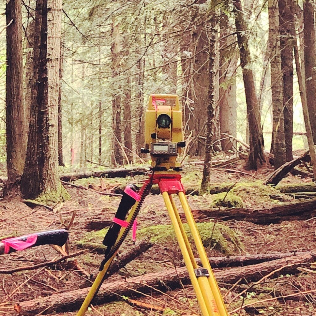
Lammons Land Surveying, LLC is a privately-owned firm located in Alberton, Missoula County, Montana.
Owned and operated by Andrew S. Lammons, P.L.S, CFedS, we are licensed to practice in both Montana and Idaho. We provide surveying, mapping, and consulting services throughout the Northwestern region. With over ten years of local experience, professionalism, and persistence, our primary focus is on quality. We guarantee hands-on professional services and ensure to protect your bona fide rights as we follow in the footsteps of the surveyor before us. As surveyors, we understand that each property we survey and every client that we work for are unique. Because of this understanding, our goal is to provide a professional service that meets the specific needs of each client. We are determined that commitment to this goal will steadily increase our client base and reputation in the industry. We bring a wide variety of combined surveying expertise and experience to each job. Our goal is to deliver superior personal service, fast response times, and competitive pricing to our clients.

Andrew Lammons- Founder / Owner
Andrew S. Lammons, PLS, CFedS
- Registered Professional Land Surveyor in Montana and Idaho
- Bachelors of Science in Surveying and Mapping from East Tennessee State University
- Over 10 years of surveying experience in Montana
- Member of Montana Association of Registered Land Surveyors (MARLS)
- Member of National Society of Professional Land Surveyors (NSPS)
- Certified Federal Surveyor (CfedS)
Lammons Surveying most common types of surveys
See our Services page for our full range of services
Boundary Surveys
At Lammons Land Surveying, one of the most common jobs we are hired for are boundary surveys. These types of surveys help landowners know where their property begins and ends. This is important knowledge to have to avoid disputes over land boundaries or to solve them. It doesn’t matter what the property is used for or zoned as, commercial, industrial, agricultural, and residential landowners all experience disputes over property lines. Lammons Land Surveying provides the trusted boundary surveys you need to settle disputes or avoid them altogether.

Topographic Surveys
Another common type of survey for Lammons is topographical land surveys, sometimes known as a contour survey, is a type of survey that covers elevation on a specific piece of land. Different from boundary surveys, which are about horizontal measurements, topographic surveys focus on the depth and height of the land, or the relief, while also depicting information about natural and manmade features. A topographical survey is intended to result in a 3-dimensional map of a parcel of land that depicts improvements, monuments, and features, whether manmade or natural.

Construction Surveys
Construction Surveys Engineering plans are used to calculate the locations of proposed improvements with respect to the property boundary. A survey crew then sets temporary markers in the ground to assist a contractor in placing/building the improvements at the desired location.

FEMA/Floodplain Surveys
Floodplain surveys, also known as Elevation surveys are done in order to determine the elevations of a piece of property. These surveys are many times provided to individuals that have been required to purchase flood insurance by a lender. Lammons can provide Elevation certificates for construction properties to help determine if a property is located within a designated flood zone.
